
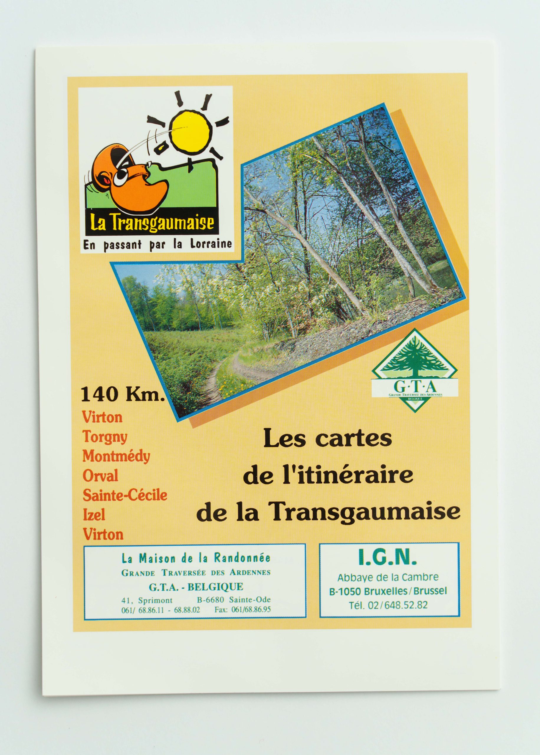
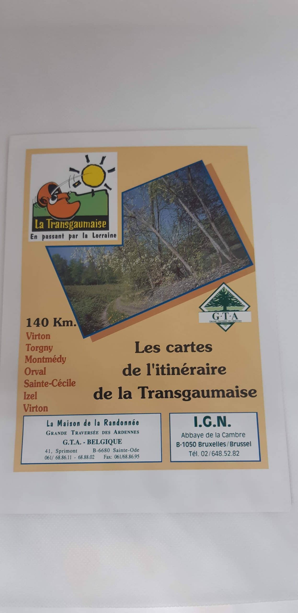
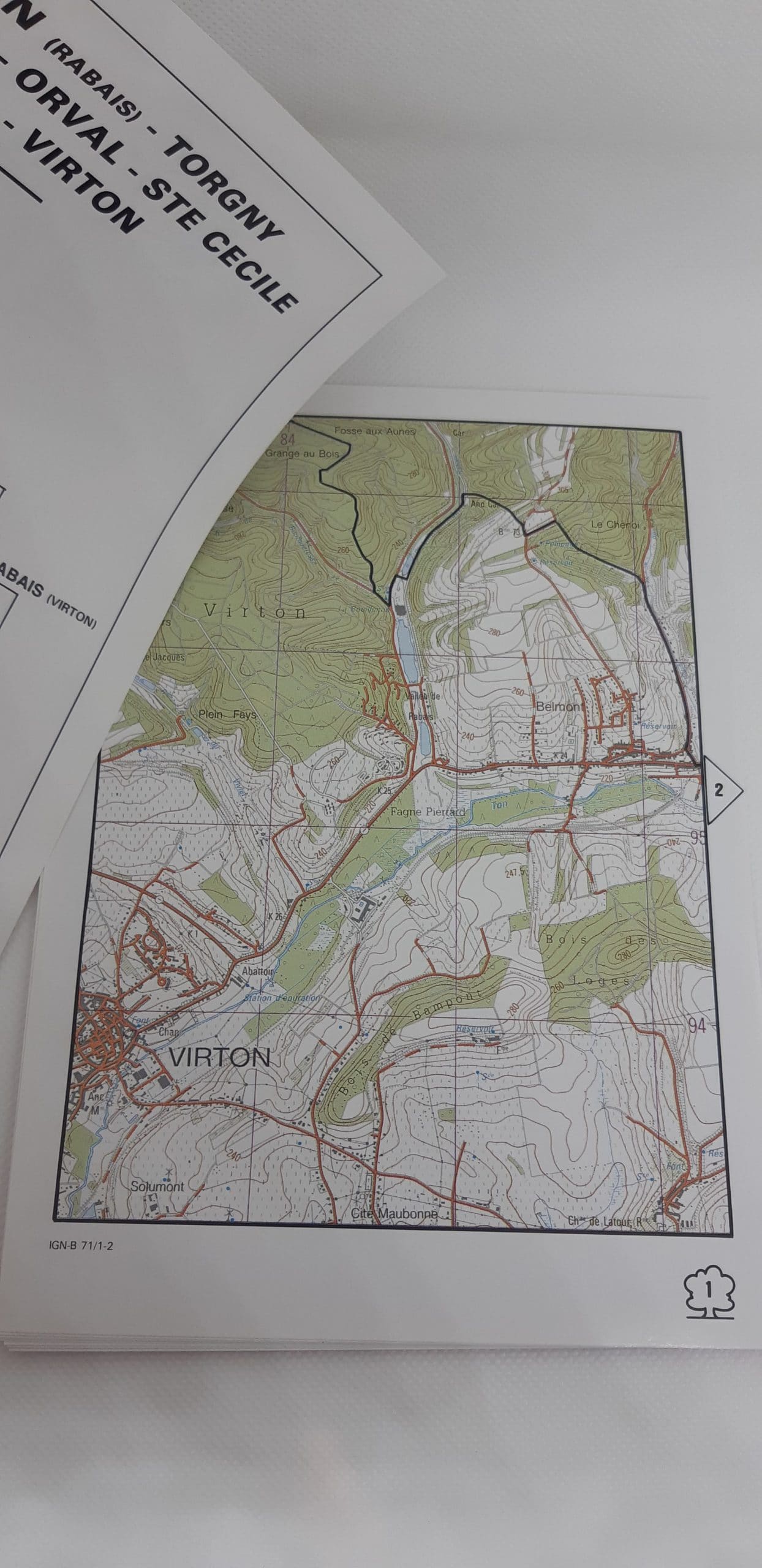
Maps of La Transgaumaise
20,00 €
Lot of hiking maps for the GTA route La Transgaumaise (140 km from Virton). Scale: 1:25,000.
Description
Lot of maps relating to the GTA route across the border, in a loop, in the heart of the Gaume also sunny ‘Petite Provence belge’. Discover the paths of the south of the Province of Luxembourg and French Lorraine thanks to a 140 km itinerary in 6 stages. Departing from Virton or from the other towns of the loop: Torgny, Montmédy, Orval, Ste Cécile or Orval…
La Transgaumaise à pied is an itinerary that takes you through the “little Belgian Provence”, in Belgian and French Lorraine.
Thanks to the set of maps (1/25 000) to be used to accompany the markers, you will snake safely and at the rhythm of your steps through the 6 stages of this trek through nature and countryside. Accompanied or alone, recharge your batteries and practice your sport while discovering cultural and natural riches such as the famous Orval Abbey, known for its Trappist beer and cheeses, the Citadel of Montmédy, built in 1545 during the reign of Charles V, or the village of Torgny, one of the “Most beautiful villages in Wallonia”.
The Transgaumaise on foot in 6 steps:
- 1e stage: Virton (Vallée de Rabais) – Torgny: 27 km
- 2e stage: Torgny – Montmédy: 25 km
- 3e stage: Montmédy – Orval: 21km
- 4e stage: Orval – Sainte-Cécile: 20 km
- 5e stage: Sainte-Cécile – Izel: 21 km
- 6e stage: Izel – Vallée de Rabais: 25.5 km
Additional information
| Weight | 0,150 kg |
|---|---|
| Dimensions | 0,2 × 16,5 × 24,5 cm |


 Guide From the Eifel to the Ardennes