Showing 25–36 of 80 results
-
5,00 €
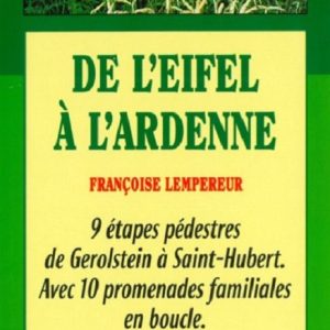
Hiking guide for sporty hikers who want to cover the 200 km of this route linking Germany, Luxembourg and Belgium. Discover “
From the Eifel to the Ardennes” in freedom with this guide in your hand and make a lot of discoveries! Technical descriptions, maps, anecdotes, environmental information…
-
16,90 €
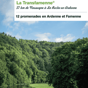
New edition 2021 ! Hiking guide for hikers wishing to cover the 160 km of this route linking La Roche-en-Ardenne to Bouillon. Discover Belgium’s best-known signposted route: the Transardennaise in freedom with this guidebook in hand, and make plenty of discoveries! Technical descriptions, maps, anecdotes, environmental information…
-
16,90 €
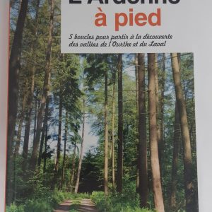
Guide in honour of the GTA path “Les Vallées de l’Ourthe et du Laval”. A large path in the shape of a star and 105 km.
-
17,00 €
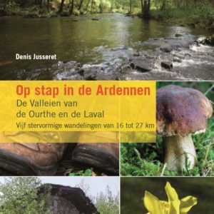
Walking guide to take with you in your backpack for your next trek in the Ardennes. Discover the Ourthe and Laval Valleys, in the heart of the province of Luxembourg! 5 signposted walks of 16 to 27 km are proposed to you with many other information on the soil, the folklore, the nature or the animals?
-
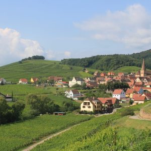
925,00 €
A superb discovery of one of the most beautiful regions of France: Alsace. On this trip, you’ll discover vine-covered hills, beautiful valleys and picturesque villages. A few kilometers from the Belgian border, this trip will allow you to enjoy a complete change of scenery in the open air.
-
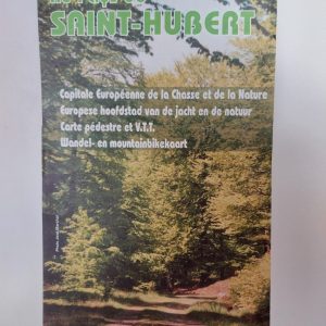
7,00 €
European capital of hunting and nature : Saint-Hubert, Vesqueville , Hatrival , Mirwart, Arville, Awenne. Pedestrian and mountain bike map. More than 30 marked loops for walking and 6 mountain bike circuits.
-
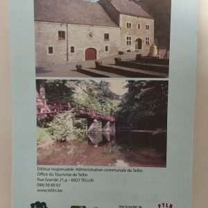
6,50 €
Hiking map “Au pays de la Lesse et de la Lhomme”. Commune of Tellin. Bure, Grupont, Resteigne, Tellin. map at a scale of 1:20 000 date of publication : 2005 edition : 1 languages : fr, nl
-
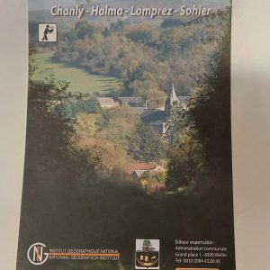
7,50 €
Pedestrian map of Wellin with the districts of Chanly, Halma, Lomprez and Sohier. 10 walking tours in marked out loops.
-
8,00 €
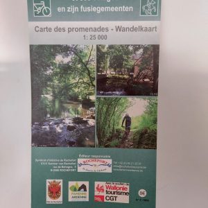
IGN hiking map – Rochefort and its villages More than 20 marked routes in the Rochefort region
-
8,00 €
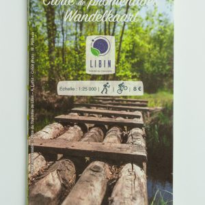
This 1:25 000 IGN map was created by the tourist office of Libin. It shows the exact route of the 78 km loop of the “Grand Tour between Lesse and Lomme”. The map also indicates village routes and other day hikes to be done in the area of the Grande Forêt de Saint-Hubert.
-
180,00 €
This stay “In the Great Forest of Saint-Hubert” is perfect for groups looking for a place to hike in the forest and visit our beautiful region. It is especially suitable for families as it offers a lot of flexibility and fun activities for children. You will stay in the Europ’Aventure gite ideally located in Saint-Hubert, a few minutes from the shops and the start of the hikes.
-
310,00 €
In collaboration with EcoSophia, Europ’Aventure offers you a stay to experience an introduction to forest baths and forest immersion. The Forest Bath is considered a meditative walk or walking meditation. It allows us to experience nature and the forest in full presence and with a special attention to all our senses.


