Hiking map – In the Wellin area
7,50 €
Description
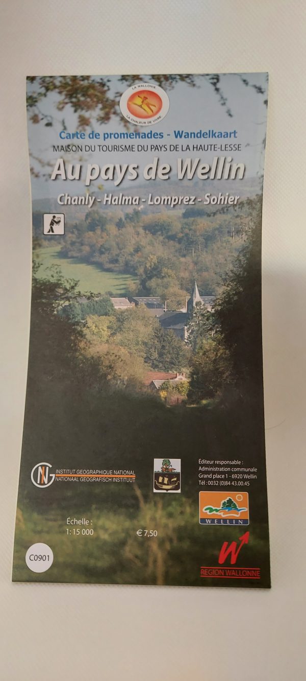
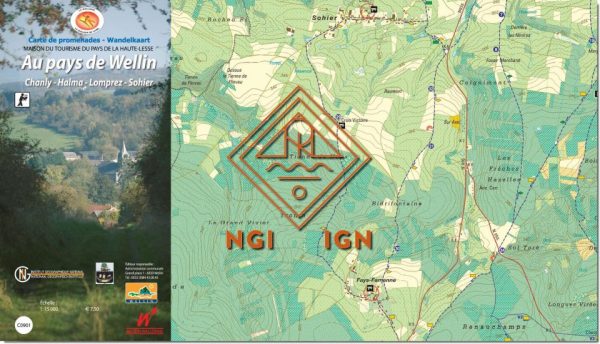
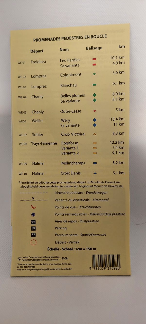
Pedestrian map of Wellin with the districts of Chanly, Halma, Lomprez and Sohier.
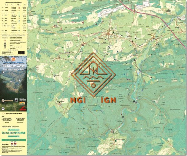
10 walking tours in marked out loops.
Additional information
| Weight | 0,05 kg |
|---|---|
| Dimensions | 23 × 12 × 0,5 cm |

7,50 €
Pedestrian map of Wellin with the districts of Chanly, Halma, Lomprez and Sohier.
10 walking tours in marked out loops.
| Weight | 0,05 kg |
|---|---|
| Dimensions | 23 × 12 × 0,5 cm |


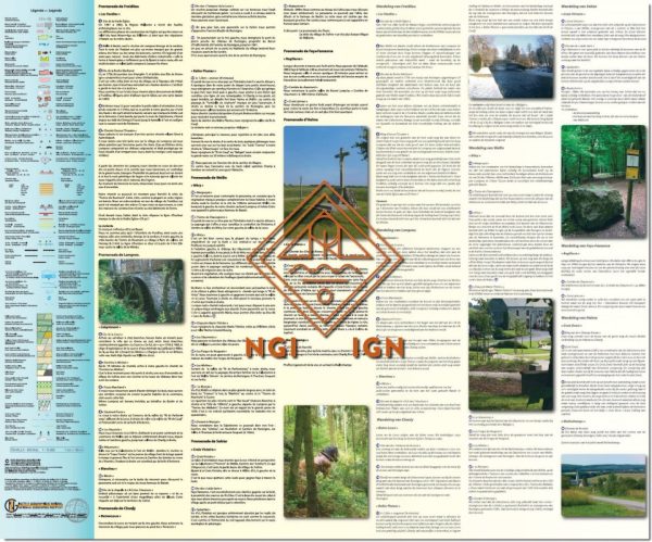
Marked trails

Freedom Travels

The Ardennes specialist

Quality accommodation

Cycling & mountain biking holidays

Luggage transport
 Maps of La Transgaumaise