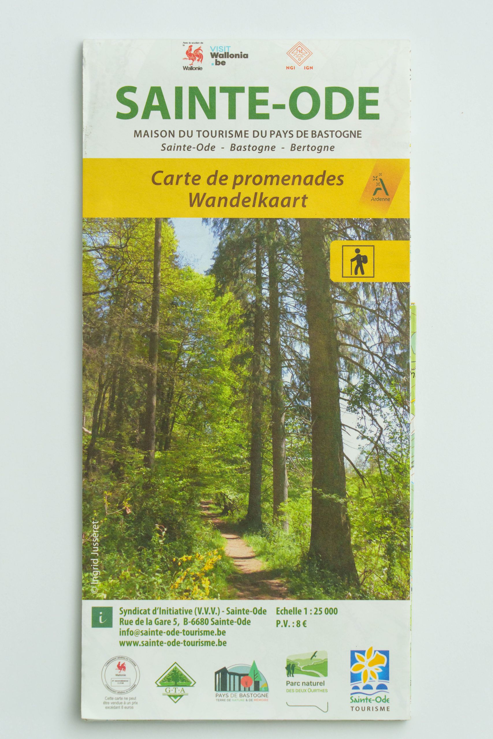
Map The Ardennes on foot, Sainte-Ode

8,00 €
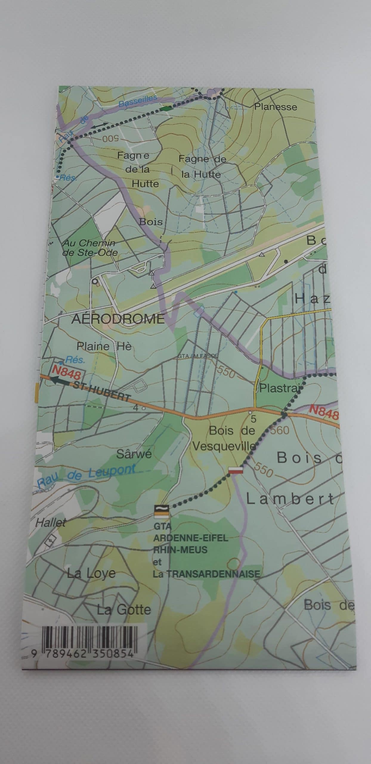
Walking map for the commune of Sainte-Ode. This map shows 23 local walks of 2 to 11 km as well as 5 major GTA routes of 16 to 27 km forming the permanent IVV circuit Le Sentier des Vallées de l’Ourthe et du Laval.
Scale: 1/25 000
Description
This IGN map is the essential map to cross Sainte-Ode in the heart of the Belgian Ardennes. Between Bastogne and Saint-Hubert, nearly 300 km of marked itineraries await you!
On the one hand, local walks of “small” distances. On the other hand the 5 major GTA routes forming the Ourthe and Laval Trail. The permanent circuit of 105 km recognized IVV.
Thanks to this map of Sainte-Ode, the ideal complement to the signposting, you can hike the loop walks at your own pace. Alone, with family or friends, discover this magnificent region and meet the forest, nature and the people of the Ardennes.
The map of the Sentiers de l’Ourthe and Laval trails in addition to the signposting:
- On the front: 23 local loop walks, from 2 to 11 km
- On the back: 5 GTA walks, routes from 16 to 27 km
Additional information
| Weight | 0,20 kg |
|---|---|
| Dimensions | 0,2 × 11 × 23 cm |