Roadbook La Transgaumaise bike, motorcycle, car
5,00 €GTA bike-car-motorcycle roadbook for the route La Transgaumaise. This roadbook proposes a 175 km route to discover the Gaume.
Showing 25–30 of 30 results
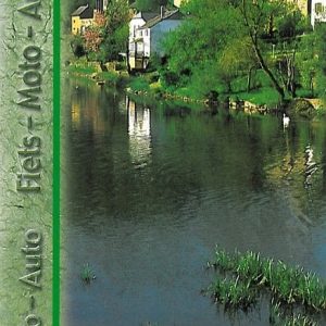
GTA bike-car-motorcycle roadbook for the route La Transgaumaise. This roadbook proposes a 175 km route to discover the Gaume.
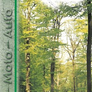
GTA bike-car-motorcycle roadbook accompanying the tourist route “La Route des Forêts”. This roadbook includes a 191 km park in the Great Forest of Saint-Hubert.

Hiking map of the GTA hiking routes La Transardennaise (160 km from La Roche-en-Ardenne to Bouillon) and La Transfamenne (57 km). Scale 1:50,000.
Thanks to this IGN map, you can hike in the Ardennes and Famenne.
The Transardennaise is the great walking route linking La Roche-en-Ardenne to Bouillon in 160 km and 7 stages.
The Transfamenne is the great pedestrian itinerary which from Nassogne takes you in 57 km to La Roche-en-Ardenne. You hike through Marche-en-Famenne and Marcourt.
Good to know: Europ’Aventure offers hikes in the Ardennes, with or without luggage transport, on La Transardennaise and La Transfamenne.
var LanguageMenu; var LanguageMenu_keys=["ar","bg","ca","zh-CHS","zh-CHT","cs","da","nl","en","et","fi","fr","de","el","ht","he","hi","mww","hu","id","it","ja","tlh","ko","lv","lt","ms","mt","no","fa","pl","pt","ro","ru","sk","sl","es","sv","th","tr","uk","ur","vi","cy"]; var LanguageMenu_values=["Arabic","Bulgarian","Catalan","Chinese Simplified","Chinese Traditional","Czech","Danish","Dutch","English","Estonian","Finnish","French","German","Greek","Haitian Creole","Hebrew","Hindi","Hmong Daw","Hungarian","Indonesian","Italian","Japanese","Klingon","Korean","Latvian","Lithuanian","Malay","Maltese","Norwegian","Persian","Polish","Portuguese","Romanian","Russian","Slovak","Slovenian","Spanish","Swedish","Thai","Turkish","Ukrainian","Urdu","Vietnamese","Welsh"]; var LanguageMenu_callback=function(){ }; var LanguageMenu_popupid='__LanguageMenu_popup';
var intervalId = setInterval(function () { if (MtPopUpList) { LanguageMenu = new MtPopUpList(); var langMenu = document.getElementById(LanguageMenu_popupid); var origLangDiv = document.createElement("div"); origLangDiv.id = "OriginalLanguageDiv"; origLangDiv.innerHTML = "ORIGINAL: "; langMenu.appendChild(origLangDiv); LanguageMenu.Init('LanguageMenu', LanguageMenu_keys, LanguageMenu_values, LanguageMenu_callback, LanguageMenu_popupid); window["LanguageMenu"] = LanguageMenu; clearInterval(intervalId); } }, 1);
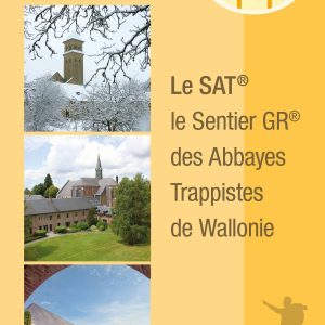
The Topo-Guide of the GR trail of the Trappist Abbeys of Wallonia describes the routes of the two sections of the trail, the first one between Chimay and Rochefort (172 km) and the second one between Rochefort and Orval (114km).
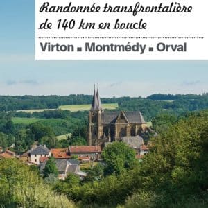
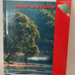
New edition 2022! Hiking guide for hikers who want to cover the 140 km of this route in the heart of the Gaume. With this guide, (re)discover one of the most famous marked routes in Belgium: The Transgaumaise in freedom, and enjoy a lot of discoveries! Technical descriptions, maps, anecdotes, environmental information…

Marked trails

Freedom Travels

The Ardennes specialist

Quality accommodation

Cycling & mountain biking holidays

Luggage transport
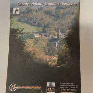 Hiking map - In the Wellin area
1 × 7,50 € Roadbook La Transgaumaise bike, motorcycle, car
1 × 5,00 €
Hiking map - In the Wellin area
1 × 7,50 € Roadbook La Transgaumaise bike, motorcycle, car
1 × 5,00 € Subtotal: 12,50 €