
Topo Guide – GR 16 Sentier de la Semois

23,00 €
Description
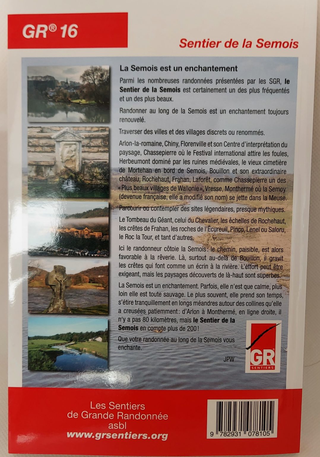
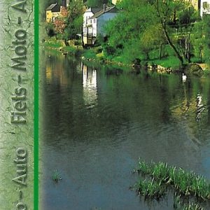
Walking along the Semois is an ever-renewed enchantment.
From Arlon-la-Romaine, the route passes through Étalle, Chiny, Florenville, Herbeumont, Bouillon, Vresse and, finally, Monthermé where the Semoy (now French, it has changed its name) flows into the Meuse. The hiker is invited to walk through or contemplate legendary, almost mythical sites: the Giant’s Tomb, the Knight’s Tomb, the Rochehaut ladders, the Frahan ridges, the Squirrel, Pinco, Lenel or Saloru rocks, the Roc la Tour, and so many others. The route totals more than 4,400 meters of positive elevation change, which is about half the elevation change of the entire Tour du Mont Blanc GR! From Arlon to Monthermé, in a straight line, there are not 80 kilometers, but the “Sentier de la Semois” counts more than 200! Not to mention the 11 variants that give you the choice between a course along the river or on the ridges. For this seventh edition, the presentation of the guidebook has been renewed, the route of the GR 16 slightly modified, its description updated and the documentation completed.
- Distance : 209 km
- Itinerary : Arlon – Chiny – Florenville – Bouillon – Vresse-sur-Semois – Failloué – Monthermé
- Links : GR 12 Monthermé – Moulin Manteau (43,5 km)
- Number of pages : 120
- Edition: 7th
- Release date: June 2021
Additional information
| Weight | 0,215 kg |
|---|---|
| Dimensions | 21 × 14 × 0,5 cm |


 Roadbook La Transgaumaise bike, motorcycle, car