Hiking Map – Rochefort and its villages


8,00 €
Description
IGN hiking map – Rochefort and its villages
More than 20 marked routes in the Rochefort region
Additional information
| Weight | 0,05 kg |
|---|---|
| Dimensions | 23 × 12 × 0,5 cm |


8,00 €
IGN hiking map – Rochefort and its villages
More than 20 marked routes in the Rochefort region
| Weight | 0,05 kg |
|---|---|
| Dimensions | 23 × 12 × 0,5 cm |

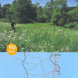

Marked trails

Freedom Travels

The Ardennes specialist

Quality accommodation

Cycling & mountain biking holidays

Luggage transport
 Guide - The Transardennaise Route - 2021 Edition
1 × 19,50 €
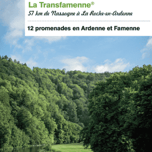 Guide Transardennaise - Edition 2021
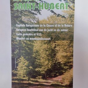
1 × 16,90 € Hiking Map - Au Pays de Saint-Hubert
1 × 7,00 €
 Escapardenne Guide Eisleck Trail
1 × 15,00 €
 Map The Ardennes on foot, Sainte-Ode
2 × 8,00 €
 Maps of La Transgaumaise
1 × 20,00 €
 IGN map "Le Grand Tour entre Lesse et Lomme" (The Grand Tour between Lesse and Lomme)
1 × 8,00 €
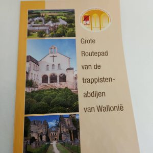
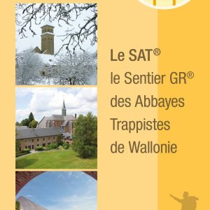 Topo Guide - The GR trail of the Trappist Abbeys of Wallonia : the S.A.T. - Edition 2022 !
1 × 20,00 € Mountain bike Map of the "Cantons de l'Est", Eastern part of Belgium
1 × 8,00 €
 The Transardennaise - IGN map
1 × 8,00 €
Subtotal: 138,40 €