Showing 1–12 of 30 results
-
15,00 €
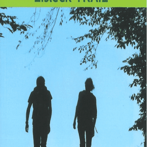
Topo-guide for hikers wishing to cover the 104 km, in 5 stages, of a signposted cross-border route through the Belgian and Luxembourg Ardennes. In this book: the description of the route, information on the fauna and flora, but also the history and heritage encountered…
-

8,00 €
Map for hikers wishing to cover the 104 km, in 5 stages, of a signposted cross-border route through the Belgian and Luxembourg Ardennes.
-

20,00 €
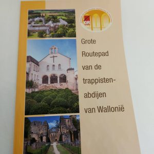
The Topo-Guide of the GR trail of the Walloon Trappist Abbeys describes the itineraries of the two sections of the trail, the first one between Chimay and Rochefort (172 km) and the second one between Rochefort and Orval (114 km).
-
20,00 €
The Topo-Guide of the GR path of the Walloon Trappist Abbeys describes the itineraries of the two sections of the path, the first between Chimay and Rochefort (172 km) and the second between Rochefort and Orval (114 km).
-

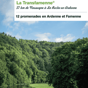
19,50 €
New edition 2021 ! Hiking guide for hikers who want to cover the 160 km of this route between La Roche-en-Ardenne and Bouillon. With this guide, discover Belgium’s most famous signposted route: La Transardennaise en liberté (The Transardennaise in the wild), and enjoy a host of discoveries! Technical descriptions, maps, anecdotes, environmental information…
-
5,00 €
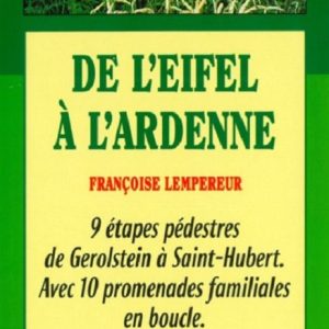
Hiking guide for sporty hikers who want to cover the 200 km of this route linking Germany, Luxembourg and Belgium. Discover “
From the Eifel to the Ardennes” in freedom with this guide in your hand and make a lot of discoveries! Technical descriptions, maps, anecdotes, environmental information…
-
16,90 €
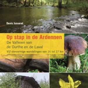
Guide in honour of the GTA path “Les Vallées de l’Ourthe et du Laval”. A large path in the shape of a star and 105 km.
-
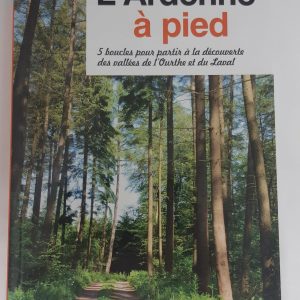
17,00 €
Walking guide to take with you in your backpack for your next trek in the Ardennes. Discover the Ourthe and Laval Valleys, in the heart of the province of Luxembourg! 5 signposted walks of 16 to 27 km are proposed to you with many other information on the soil, the folklore, the nature or the animals?
-
16,90 €
New edition 2021 ! Hiking guide for hikers wishing to cover the 160 km of this route linking La Roche-en-Ardenne to Bouillon. Discover Belgium’s best-known signposted route: the Transardennaise in freedom with this guidebook in hand, and make plenty of discoveries! Technical descriptions, maps, anecdotes, environmental information…
-
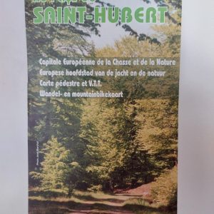
7,00 €
European capital of hunting and nature : Saint-Hubert, Vesqueville , Hatrival , Mirwart, Arville, Awenne. Pedestrian and mountain bike map. More than 30 marked loops for walking and 6 mountain bike circuits.
-
6,50 €
Hiking map “Au pays de la Lesse et de la Lhomme”. Commune of Tellin. Bure, Grupont, Resteigne, Tellin. map at a scale of 1:20 000 date of publication : 2005 edition : 1 languages : fr, nl
-
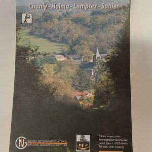
7,50 €
Pedestrian map of Wellin with the districts of Chanly, Halma, Lomprez and Sohier. 10 walking tours in marked out loops.


