

Hiking map – In the country of the Lesse and the Lhomme – Commune of Tellin


6,50 €
Description
Hiking map “Au pays de la Lesse et de la Lhomme”. Commune of Tellin. Bure, Grupont, Resteigne, Tellin.
map at a scale of 1:20 000
date of publication : 2005
edition : 1
languages : fr, nl
Additional information
| Weight | 0,05 kg |
|---|---|
| Dimensions | 21 × 12 × 0,5 cm |



 Escapardenne Guide Eisleck Trail
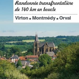
 Guide From the Eifel to the Ardennes
 IGN map "Le Grand Tour entre Lesse et Lomme" (The Grand Tour between Lesse and Lomme)
 EscapArdenne Map - Eisleck Trail
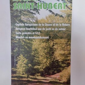 Hiking Map - Au Pays de Saint-Hubert
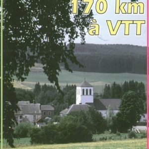
 Mountain bike Map of the "Cantons de l'Est", Eastern part of Belgium
 The Transardennaise - IGN map
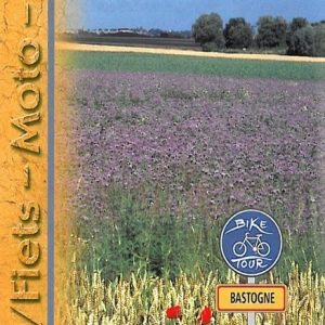 Roadbook Bastogne Bike Tours
 Roadbook La Route de la Sûre
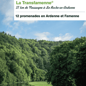 Guide Transardennaise - Edition 2021
 Guide - The Transardennaise Route - 2021 Edition