

Hiking map – In the country of the Lesse and the Lhomme – Commune of Tellin


6,50 €
Description
Hiking map “Au pays de la Lesse et de la Lhomme”. Commune of Tellin. Bure, Grupont, Resteigne, Tellin.
map at a scale of 1:20 000
date of publication : 2005
edition : 1
languages : fr, nl
Additional information
| Weight | 0,05 kg |
|---|---|
| Dimensions | 21 × 12 × 0,5 cm |


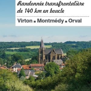
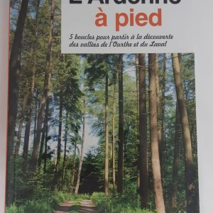


 Escapardenne Guide Eisleck Trail
 IGN map "Le Grand Tour entre Lesse et Lomme" (The Grand Tour between Lesse and Lomme)
 Maps of La Transgaumaise
 Roadbook La Transardennaise bike, motorcycle, car
 EscapArdenne Map - Eisleck Trail
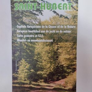 Hiking Map - Au Pays de Saint-Hubert
 Mountain bike Map of the "Cantons de l'Est", Eastern part of Belgium
 The Transardennaise - IGN map
 Roadbook Bastogne Bike Tours
 Roadbook La Route de la Sûre
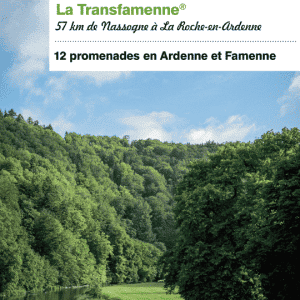 Guide Transardennaise - Edition 2021