

Roadbook La Transgaumaise bike, motorcycle, car


5,00 €
Out of stock
GTA bike-car-motorcycle roadbook for the route La Transgaumaise. This roadbook proposes a 175 km route to discover the Gaume.
Description
Roadbook detailing the circuit of the Transgaumaise by bike, motorcycle or car. An itinerary of 175 km by road, in the heart of the Gaume, “la petite provence belge”. Discover a circuit through the countryside and famous places such as the Orval Abbey, the citadel of Montmédy and the basilica of Avioth… The Transgaumaise is an itinerary designed in particular for cyclists, motorcyclists and car enthusiasts.
This 175 km long route takes you to discover the Gaume: visit Orval and its Cistercian abbey, famous for its abbey cheese and its beer, Montmédy and its imposing citadel or Avioth, nestled in the Gaume Lorraine and whose basilica is a tourist attraction not to be missed. To take full advantage of the region, stop at a tavern to taste their famous pâté gaumais or their famous aperitif: the Maitrank.
Le roadbook GTA est composé de plusieurs fiches étapes dont chacune montre le plan de l’étape, le dénivelé, les difficultés du parcours ainsi que les curiosités touristiques.
Do you ride a bike? Europ’Aventure recommends that you use the Bike Carrier Bye-Bike, a holder for the roadbook to be simply attached to your bike.
Good to know: Europ’Aventure offers the “La Transgaumaise à vélo” holiday.
Additional information
| Weight | 0,150 kg |
|---|---|
| Dimensions | 23 × 11 × 0,3 cm |



 EscapArdenne Map - Eisleck Trail
 Hiking map - In the country of the Lesse and the Lhomme - Commune of Tellin
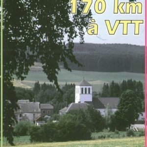 Roadbook La Transardennaise MTB
 Roadbook The Forest Road
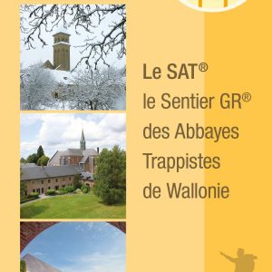 Topo Guide - The GR trail of the Trappist Abbeys of Wallonia : the S.A.T. - Edition 2022 !
 Guide From the Eifel to the Ardennes
 IGN map "Le Grand Tour entre Lesse et Lomme" (The Grand Tour between Lesse and Lomme)
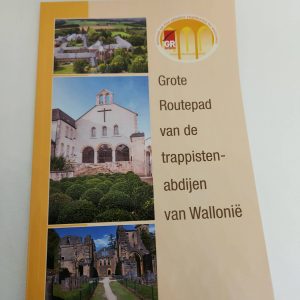 Guide - Great Route Path of the Trappist Abbeys of Wallonia (GR) - NL version
 Topo Guide - GR 16 Sentier de la Semois
 Maps of La Transgaumaise
 Mountain bike Map of the "Cantons de l'Est", Eastern part of Belgium
 The Transardennaise - IGN map
 Guide Transardennaise - Edition 2021
 Hiking Map - Au Pays de Saint-Hubert
 Map The Ardennes on foot, Sainte-Ode
 Hiking map - In the Wellin area
 Roadbook La Transardennaise bike, motorcycle, car
 Hiking Map - Rochefort and its villages